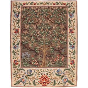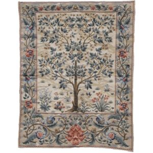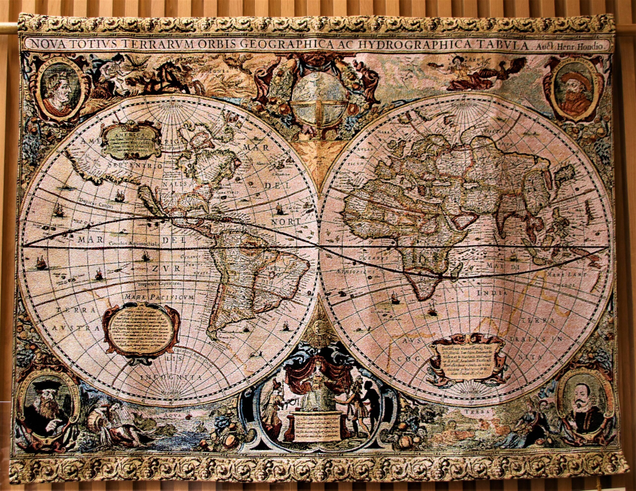
Description
“World Map Tapestry – 16th Century”
A map which combines the skills of the cartographer and the tapestry weaver. Most maps employed elaborate pictorial borders representing the people’s, flora and fauna of foreign parts.
A tradition maintained by Dutch map makers throughout the 16th century by numerous others of various Nations over the next two hundred years. One of the most curious world maps was published in 1581 in Henrich Bunting’s Itinerarium.
This ‘clover leaf’ map derives from Medieval Mappa Mundi and has Jerusalem at its centre with the contents of Asia, Africa and Europe as the three leaves, a design apparently inspired by coat of arms of Bunting’s home town of Hanover.
The tapestry measures 88 x 114 cm and is woven in Belgium using a traditional Flemish loom, and is hand-backed in Cornwall.